Skip to content

Hiking and Cycling

In Kajaani, nature is present wherever you go – you can even step into a beard-moss-covered forest right next to the city centre. Forests, rivers, lakes and the nearby tree-covered hills are our privilege.  

 Below you will find route descriptions and downloadable maps, which are also available on Metsähallitus’ Retkikartta.fi service. The service is also available on a mobile app, so it can be used even when hiking. Nature trails are also actively used in the winter. 

Routes and destinations

  • Winter cycling

    During the winter, there are about 20 kilometres of cycling routes, from Vimpelinvaara to Kaupunginlampi, including a round 4 kilometre route in Vimpelinvaara (see map below). Routes are maintained weekly. It is prohibited to cycle on the lit ski tracks (except parts of the winter cycling routes); however you can ride on the unlit competition ski tracks. Please be considerate of other people in the area and please don’t use the repaired trail when the surface is squashy to avoid it getting ruined.

    Kajaani_talviretkeilykartta21_22

    Cycling map

    The cycling map for Kajaani (PDF in Finnish) not only includes a general map of mountain biking routes, but also local nature attractions, the most popular routes and their descriptions. The surfaces of roads and cycle paths are described with various markings. See also the small version of the cycling map (PDF in Finnish)

    MTB trails in Kajaani

    You can find GPX trails for MTB and other cycling paths at jalki.fi (in Finnish). There are maintained MTB and local trails in Lohtaja and Pöllyvaara. The trails are marked with wooden signposts and different-coloured arrows. The fastest moving mountain biker is obliged to give way.  

    XCO track

    Vimpeli’s XCO trail is a mountain bike track in Vimpelinvaara that meets competition standards. Its start and finish lines are located on Vimpeli’s lit ski track. The route runs anticlockwise, and you can avoid the most hazardous descents in the places indicated on the map by following the competition ski tracks. Rumour has it that there are just five people in Kajaani who are able to ride through the entire trail without getting off. Could you be the sixth? Getting off the bike at intervals is an integral part of the sport, but as your skills grow and you get fitter, you may well be able to ride it all the way through. 

    Vimpeli XCO map (PDF in Finnish) 

    Bicycle and pedestrian routes

  • Local nature attractions in Kajaani

    On the map of local nature attractions in Kajaani (PDF in Finnish), you will find the locations of the attractions and the services offered. There are nature attractions close to the city centre, in the woods and by the waterways! 


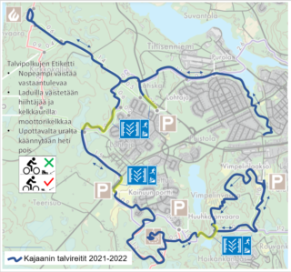
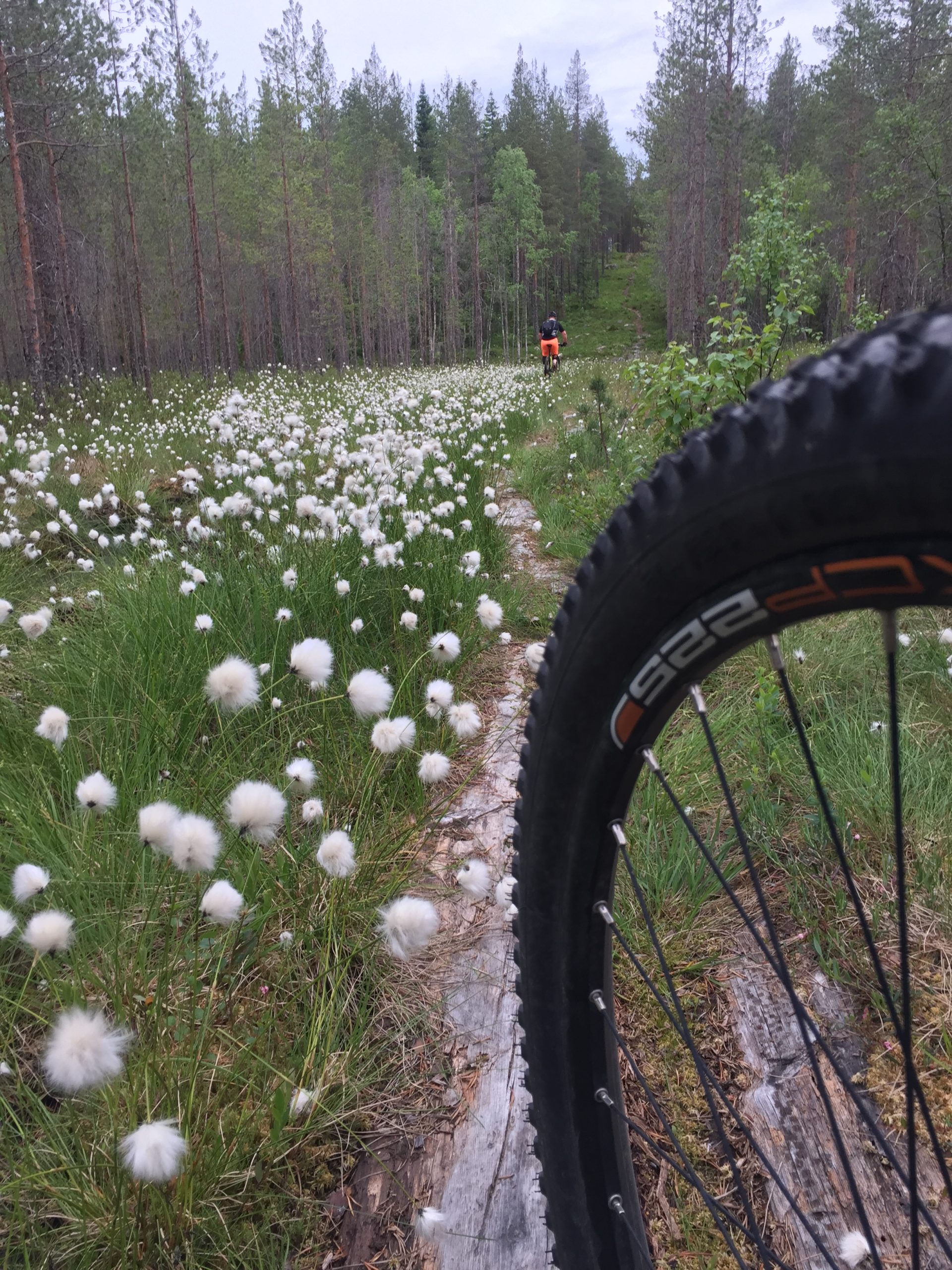
    Kajaanin retkeilyreitit

    Kajaanissa on toistasataa kilometriä sekä kaupungin että kyläyhdistysten ylläpitämiä retkeily- ja maastopyöräilyreittejä. Reitit ja niiden vaativuustasot löytyvät Kajaanin retkeilykartasta

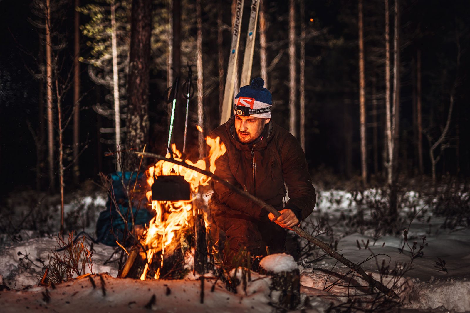
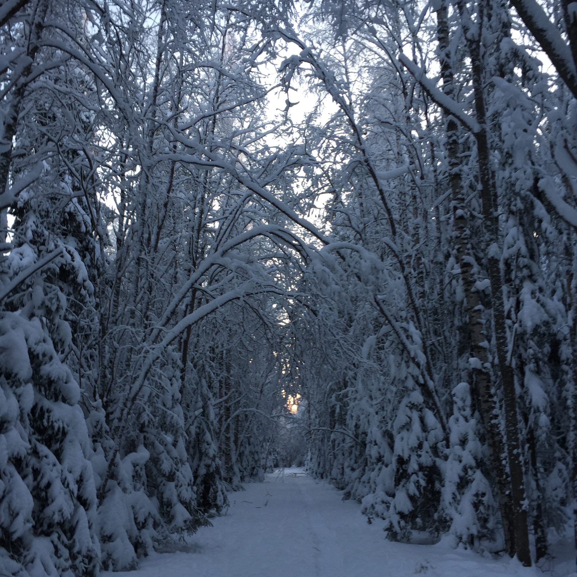
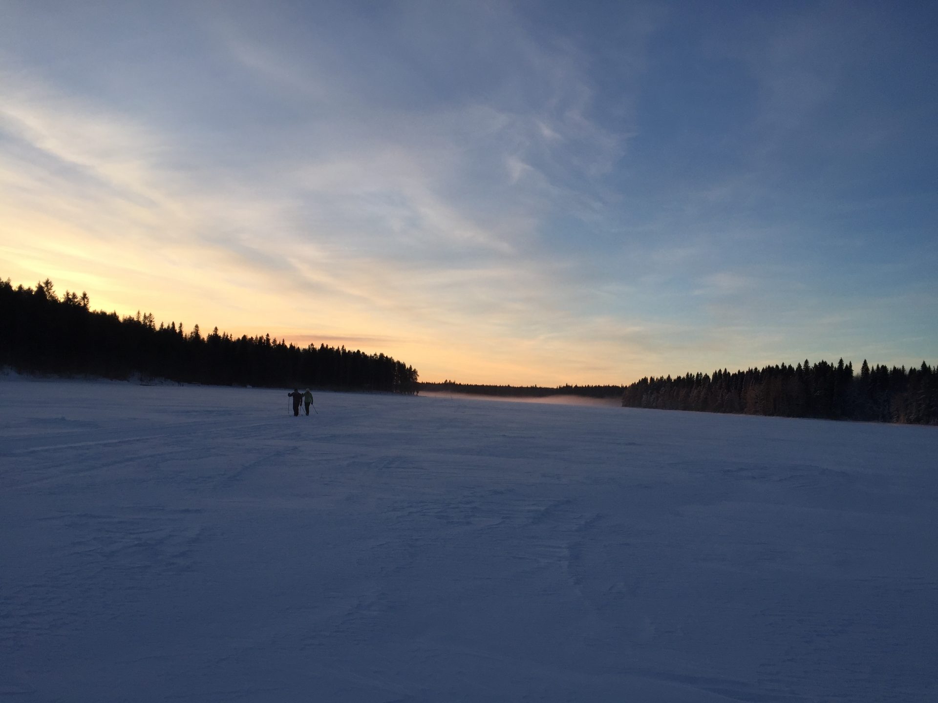
    Winter hiking trails 

    In the winter, you can easily access the city’s trails and park walkways situated close to residential areas. They are designed for walking and other methods that require muscle power, and pets are welcome. Please be considerate of other people on the narrow trails. Download the winter hiker’s map (Winter hiking map, PDF in Finnish). 

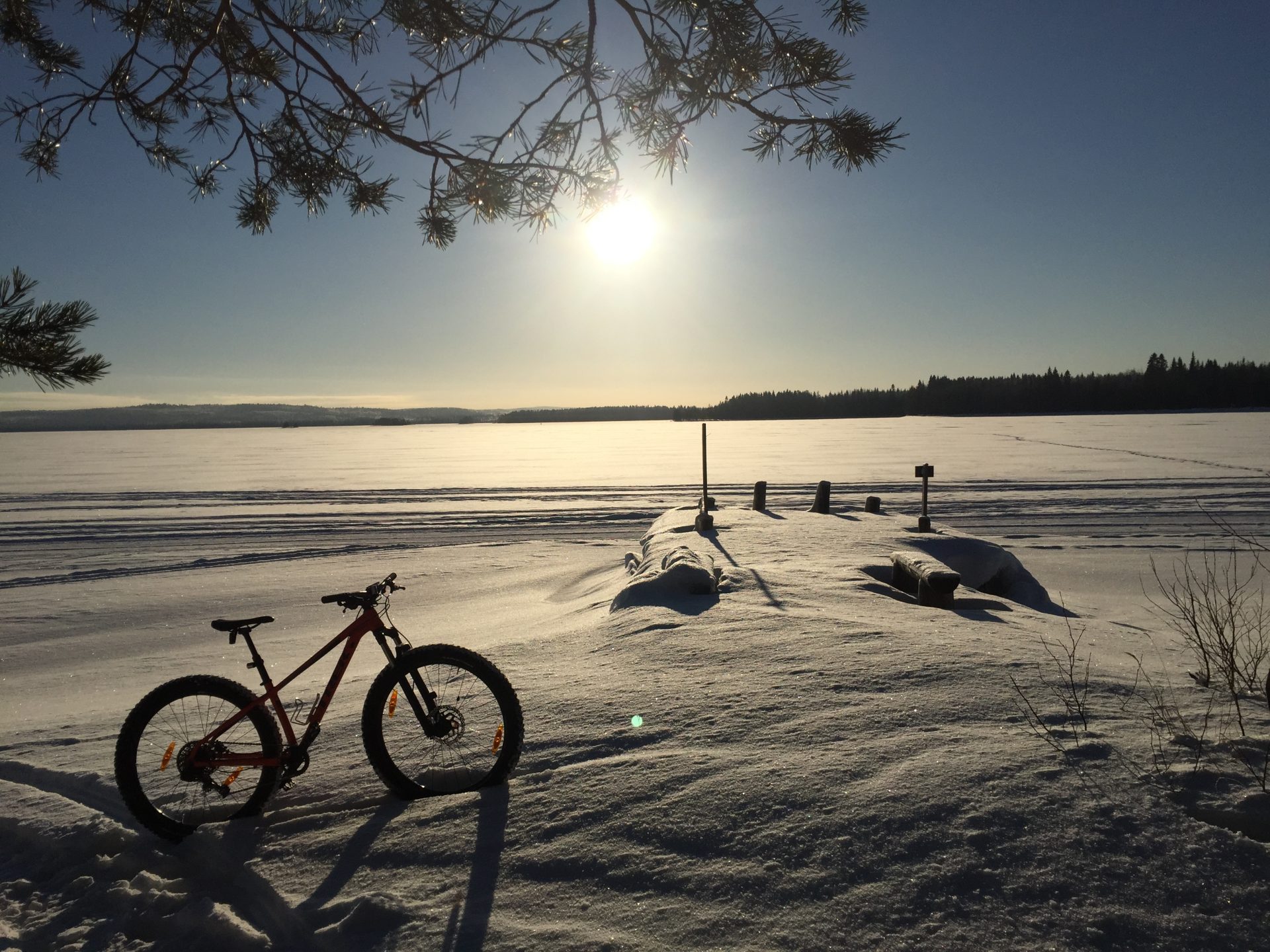
    The Vimpeli winter MTB trail runs clockwise. Mountain bikers have right of way on the trail, but everyone is welcome to use it. Please note that snowmobiles have right of way on snowmobile tracks. The trail is repaired weekly and will be made available in the Fluent Outdoors service, along with ski tracks and ice rinks. Please don’t use the repaired trail when the surface is squashy to avoid it getting ruined. 

    Pöllyvaara local hiking trail

    The Pöllyvaara local hiking trail (PDF  in Finnish) is located in Teppana about a kilometre from the city centre. The trail is easy to access from the Pöllyvaara car park and runs all the way to the Lukkarinnurmi recreational area. 
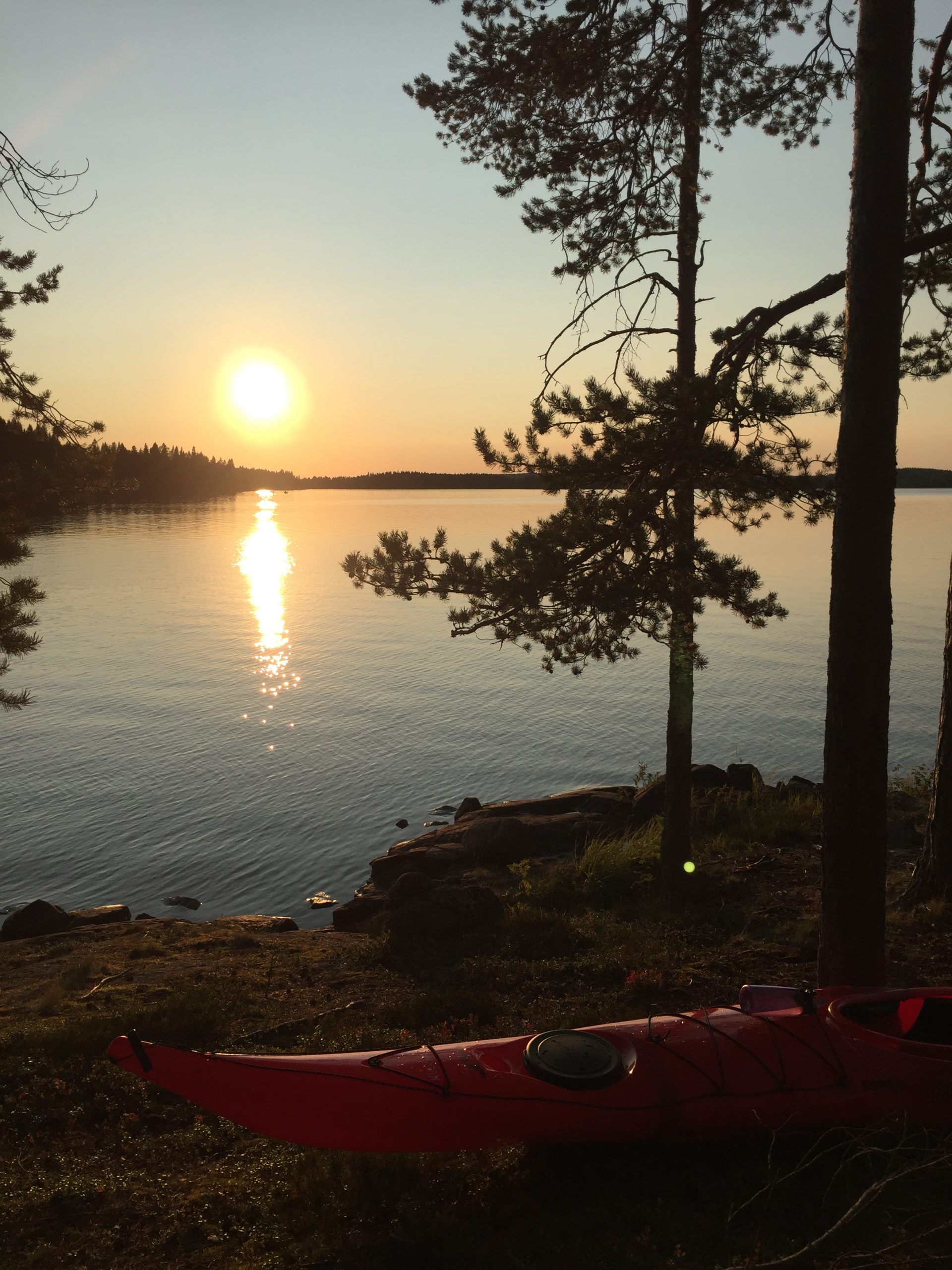
    The Renfors trail

    The Renfors trail (PDF in Finnish) runs along cycle and park paths close to the river and there are several resting places along the way. The trail is 9.2 kilometres long in total. Along the route, you will find information boards about interesting sights and persons. You can now carry the route and destinations of the Renfors trail in your pocket, thanks to the Kajaani mobile guide(in Finnish).

    Kouta-Vuores trails 

    On the Kouta-Vuores trails (PDF in Finnish) you can admire the stunning Ärjenselkä lake scenery, the largest body of open inland water in Finland.

    Arppe memorial forest trail 

    The Arppe memorial forest trail (PDF in Finnish) runs through a protected conservation area. The forest trail is located close to Highway 5, about 8 kilometres south of Kajaani. 

    Eino Leino trail 

    The Eino Leino trail (PDF in Finnish) starts and ends at the Eino Leino house that is located by the shore of Lake Oulujärvi in Paltaniemi. 

    Pirunvaara local hiking trail 

    The Pirunvaara local hiking trail (PDF in Finnish) starts in Lohtaja and takes the hiker along forest paths all the way to the top of the tree-covered hill known as Pirunvaara, where you can admire the magnificent view of Lake Sokajärvi. 

    Erkin Poloku local hiking trail 

    Erkin Poloku trail (PDF in Finnish) is located in the terrain of Heinimäki. You can easily access the trail from the car park by the side of Heinisuontie. 

    Talaskangas hiking trail 

    The Talaskangas hiking trail (PDF  in Finnish) is located in the Kajaani, Sonkajärvi and Vieremä area. The hiking trail runs through a conservation area that totals about 3,500 hectares. The trail is 12 kilometres long and is classified as easy due to the level ground. The trail is marked with red paint. 

    Otanmäki hiking trail

    Otanmäki hiking trail (PDF in Finnish) connects the two best-known nature destinations in Vuolijoki: the Talaskangas Nature Reserve and Otanmäki bird reservoir. There are three rest spots in the Otanmäki area that divide the route into four stretches of equal length. You can stop and rest at the Parttosenkangas lean-to shelter and at the tables and benches near Otanneva and Pyöreäsuo. 

  • There are plenty of maintained huts and public fire places in Kajaani

    • Rehjansaari
    • Toukansaari
    • Pöllyvaara
    • Lake Iso-Ruuhijärvi
    • Vimpelinlampi
    • Top of the Vimpelinvaara ski lope
    • Limppusaari (take your own wood)

    All huts and fire places are located near tracks and routes,

    During forest fire warnings it is prohibited set a fire on any hut or fire place.

    Metsäpalovaroituksen aikana avotulen teko on kielletty myös tarkoitukseen rakennetuilla nuotiopaikoilla.

  • The most significant bird-watching destination in Kainuu is the Otanmäki bird reservoir where there is plenty to see from spring to autumn. Local birdwatchers have long considered it the best spot in the region. The Otanmäki bird reservoir is located in the built-up area of Vuolijoki-Otanmäki. 

    There are three bird-watching towers, a ‘kota’ hut and a photography hut by the reservoir. Some 200 bird species have been spotted in the area, some of which are rare. The large number and diverse range of bird species is due to the proximity of Lake Oulujärvi and the abundance of small animals and plankton in the area. The reservoir acts as a nesting site for birds, as well as a place to meet and eat during migration. 

    The Otanmäki bird reservoir is located in the built-up area of Vuolijoki-Otanmäki. Map location on the Kainuu outdoors map. 

Contacts